Describe your project in your own words, typed or spoken, and WindSense marks the land that meets it on the map. For example: "Wind sites of at least 30 MW within 150 km of Barcelona". No forms to fill in, no layers to overlay in QGIS.
What AI site search does
- Understands the request. The AI turns your text into search criteria: minimum area, wind or solar resource, slope, substation with free access capacity, power line and voltage, MITECO environmental zoning, protected areas and landscapes, and setbacks from homes, roads and airfields.
- Finds the area. Name a province or municipality, set a radius around a point, or use the current map view. Areas of up to 360,000 km² are supported, and sites appear on the map as they are found.
- Stays transparent. It shows the parameters applied. Anything it cannot filter on (land price, ownership, zoning plans) is listed separately, never guessed.
- Takes follow-ups. "Same, but for solar", "widen the radius".
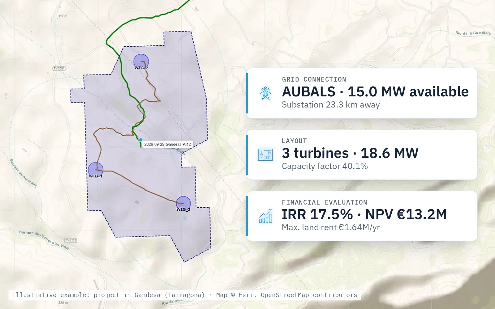
- Goes straight to a project. One click turns a site into a project: grid connection, layout, financial evaluation and cadastral parcels.
Try it on your land
Send us 10 cadastral references and we will tell you, free of charge, which ones suit wind or solar and, if not, why. Your references are not shared or used to contact landowners.